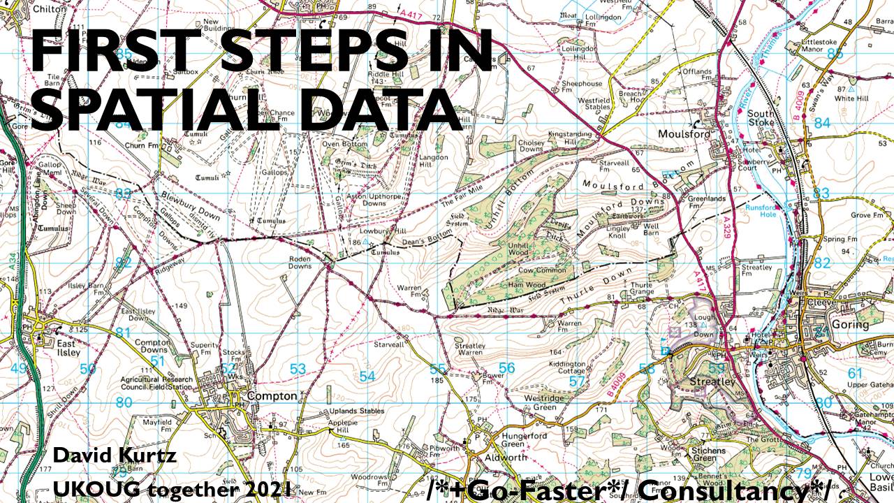
I wanted to work out which GPS tracks pass through which areas.
On the way, I had to
- load flat files into the database
- read XML data,
- convert GPS tracks to Spatial objects
- load publically available data sets for political and administrative areas,
- process and compare spatial objects
- and produce a responsive front-end query application in Apex
I have written a series of blogs upon which this presentation was based, and all the files are available on Github.
And in case anyone is wondering, you don't have to be an expert to do a presentation (because when it comes to Spatial I am not), you just have to tell a story. #UKOUGtogether21 https://t.co/yCcJJsxESR
— David Kurtz - /*+Go-Faster*/ Consultancy (@davidmkurtz) November 24, 2021
